Created 20-Jul-15
Modified 20-Dec-23
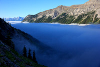
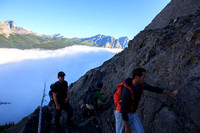
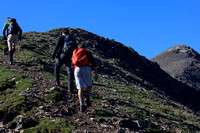
2015-07-18 | Opal Ridge | 2617m (1600m TH) | 11 km | 1354m TA | 7.75 hr including nap
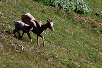
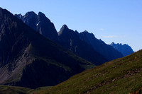
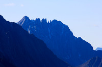
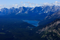
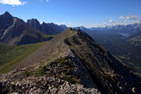
Opal Ridge is a fairly well defined route up the ridge directly east of the Fortress service station on Hwy 40. Some scree and bit rubbly in places, basically a sustained steep hike. We extended the day with a ramble along the ridge to south where the Grizzly creek gorge preempts any further travel in that direction.
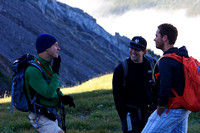
Co-conquistadors of the useless: Peter, Eric, Jimmy. Eric and Jimmy (geologists) enjoyed looking at the rocks, I told them to find me an opal but they came up short (or kept them for themselves…) Long rough descent had my quads, knees, and a hip flexor singing. Goddam broken down carcass.
© Clayton Ditzler