Created 1-Aug-21
Modified 20-Dec-23
2021-07-31 | Waputik Peak | 2753 max | 1643 TH | 18.3 km | 1427m TA | w/ Peter & David
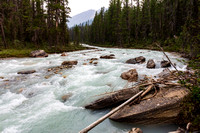
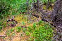
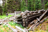
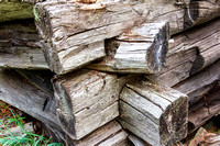
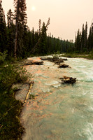
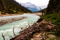
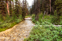
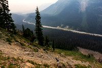
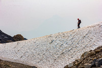
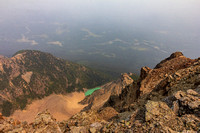
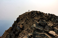
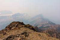
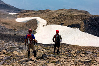
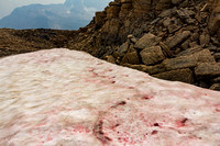
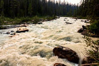
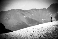
Back car pooling again after the Covid hiatus, at least for now, as we are all vaccinated and felt it is safe again. This peak lies just north of hwy 1 and just west of the Icefields parkway, accessed off a weird service access to a small rail service yard where Bath Creek runs under the highway. A gate in the wildlife barrier grants entrance to the unknown. After a brief jaunt on the tracks we dove off into the brush for a push along Bath creek using scraps of animal and ski trail, creekbed, and up and over logs and brush. Passing some dilapidated cabins we eventually reached a clear running side creek where we diverted into even thicker and scrappier face slapping, knee cutting brush. Emerging onto the rocky toe of an avalanche slope was initially ok, but as it steepened and became more loose forward progress was reduced to a crawl. We each seemed to find our own lines up the face and rejoined at the top where loose rumble and snow patches directed us to the broken shaley rocky summit. An hour long extended lunch break for taking in smokie views of distant peaks and glaciers was hot when the breeze stopped. Returning the same way, we watered again at the clear side creek before pushing back to the truck picking up some extra scratches and bruises. (I had two minor falls a testament to the challenges on the day with balancing and twisting). Arrived home around 10:30 for saskatoons and ice cream before a shower (to find ALL the cuts) and a good rest!
© Clayton Ditzler